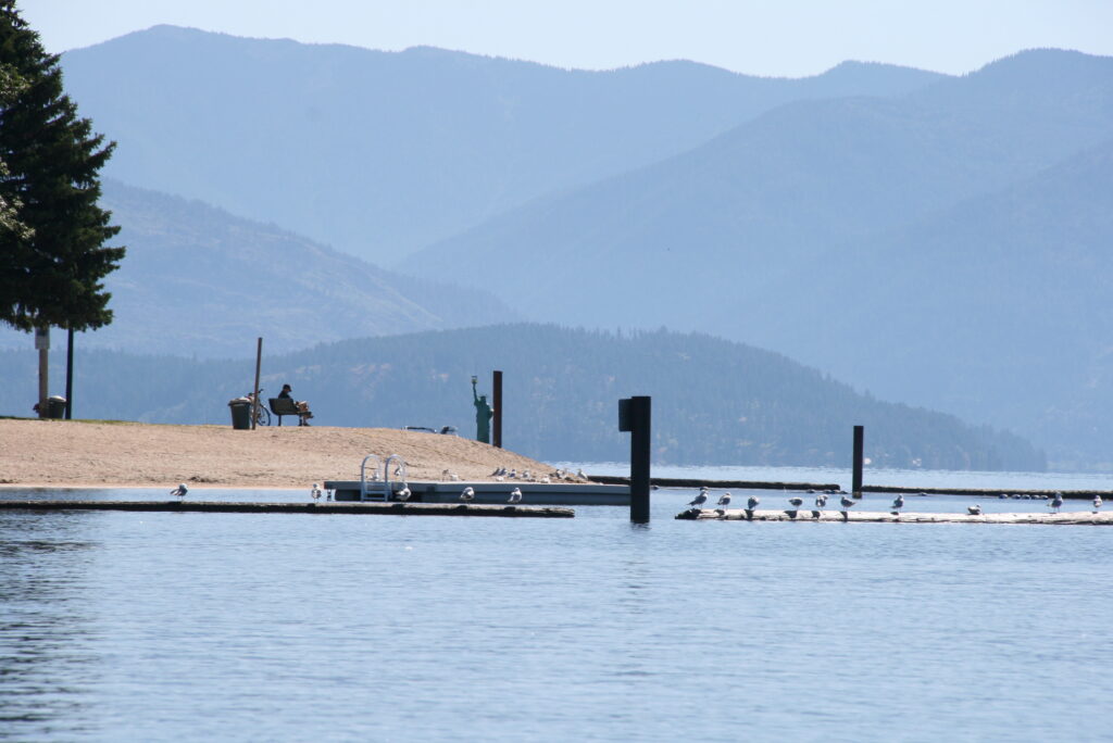
In December of 2022, the board of county commissioners active at the time gave away a half mile of Camp Bay Road and 50 feet of waterfront to a developer, in exchange for a footpath leading to the water. The issue was covered extensively and highly contentious, and the debate focused partially on whether or not public access was established, and if it was established, if it was actually being used.
Because when it comes to public access, if the public stops using it, developers can argue that it should no longer be public.
The issue prompted Project 7B to identify and map other at-risk public water access sites, a project that led to a partnership with the Kalispel tribe, Kaniksu Land Trust and Bonner County Historical Society. The project received grant funding to map out public access sites and their history, as well as carefully research the lesser-known sites that are most like Camp Bay — meaning the question of whether or not they’re public is something we need to establish before developers claim they aren’t. The end result will be an interactive master water trail map (to be launched later in 2026) to identify public access points and amenities, which can be updated with our ongoing research.